A Turning Point
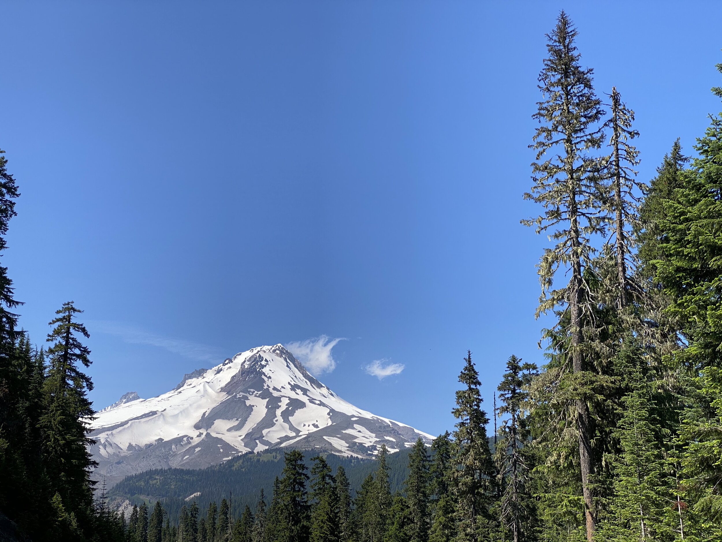
Mt. Hood and the White River
With the holiday weekend upon us, I spent yesterday completing the Oregon Trail portion of my travels and picking up the Lewis & Clark Trail. It was a turning point in my journey as I finished the westward portion and am now heading back to the east.
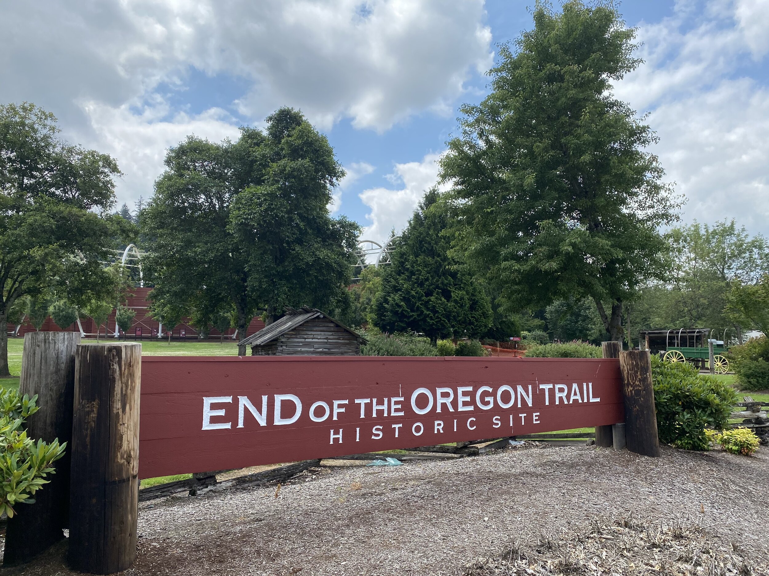
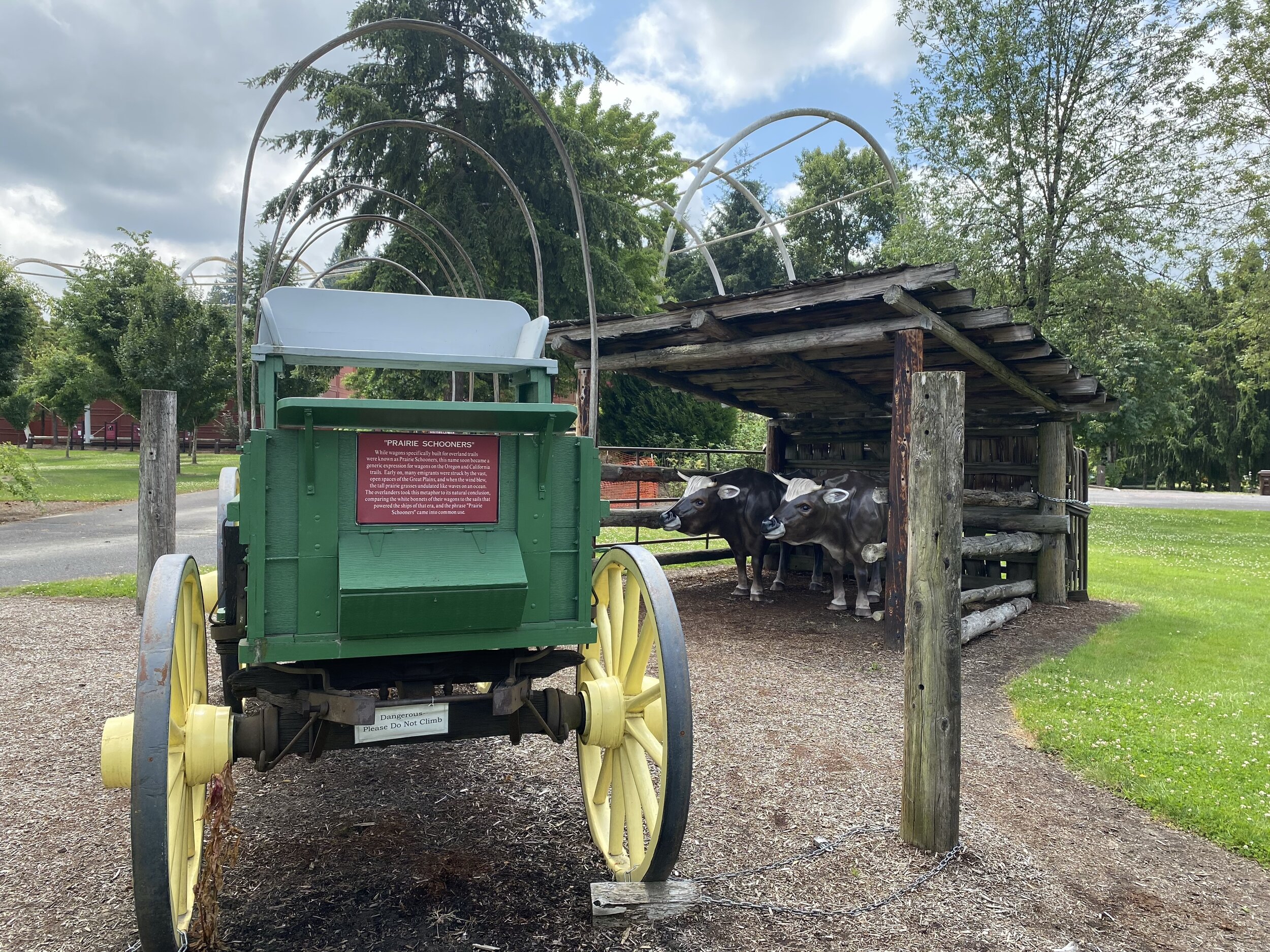
I started my day in Oregon City, which was the capital of the vast Oregon territory and home to the End of the Oregon Trail interpretive center. Because of COVID-19 restrictions, it was closed but the welcome area open to the public had an enticing amount of information enough to wet my whistle.
Departing from the Route
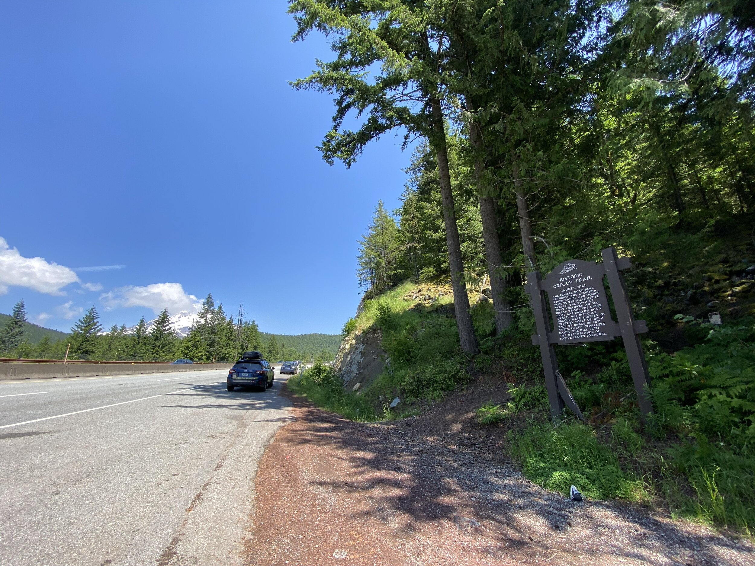
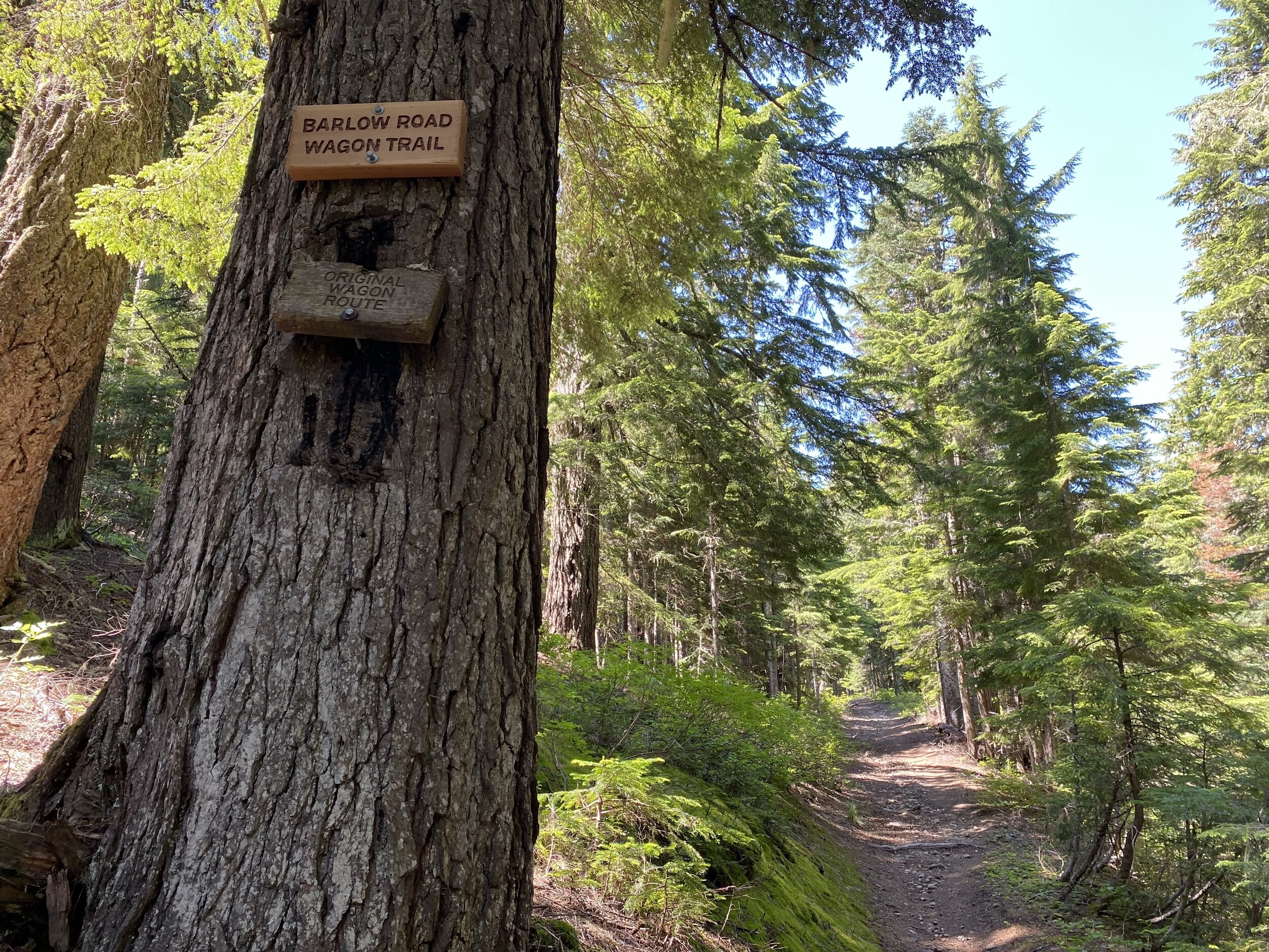
Upon the recommendation of producer Troels Adrian, I ventured off my planned route to stop at the Barlow Road. This was a final treacherous stretch of the Oregon Trail that required ropes to steady the wagons and careful driving. You can walk an original stretch and drive on the modern stretch.
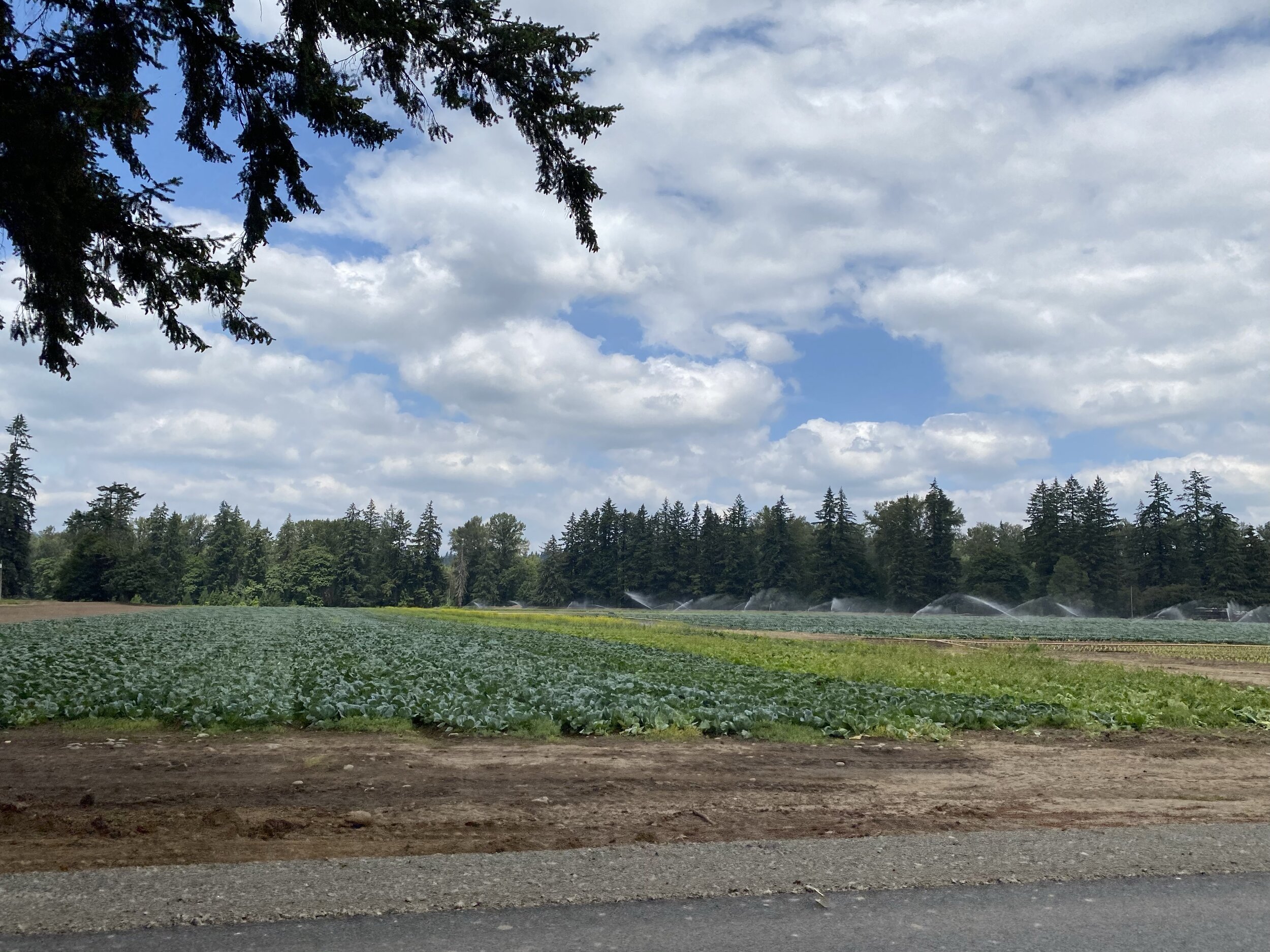
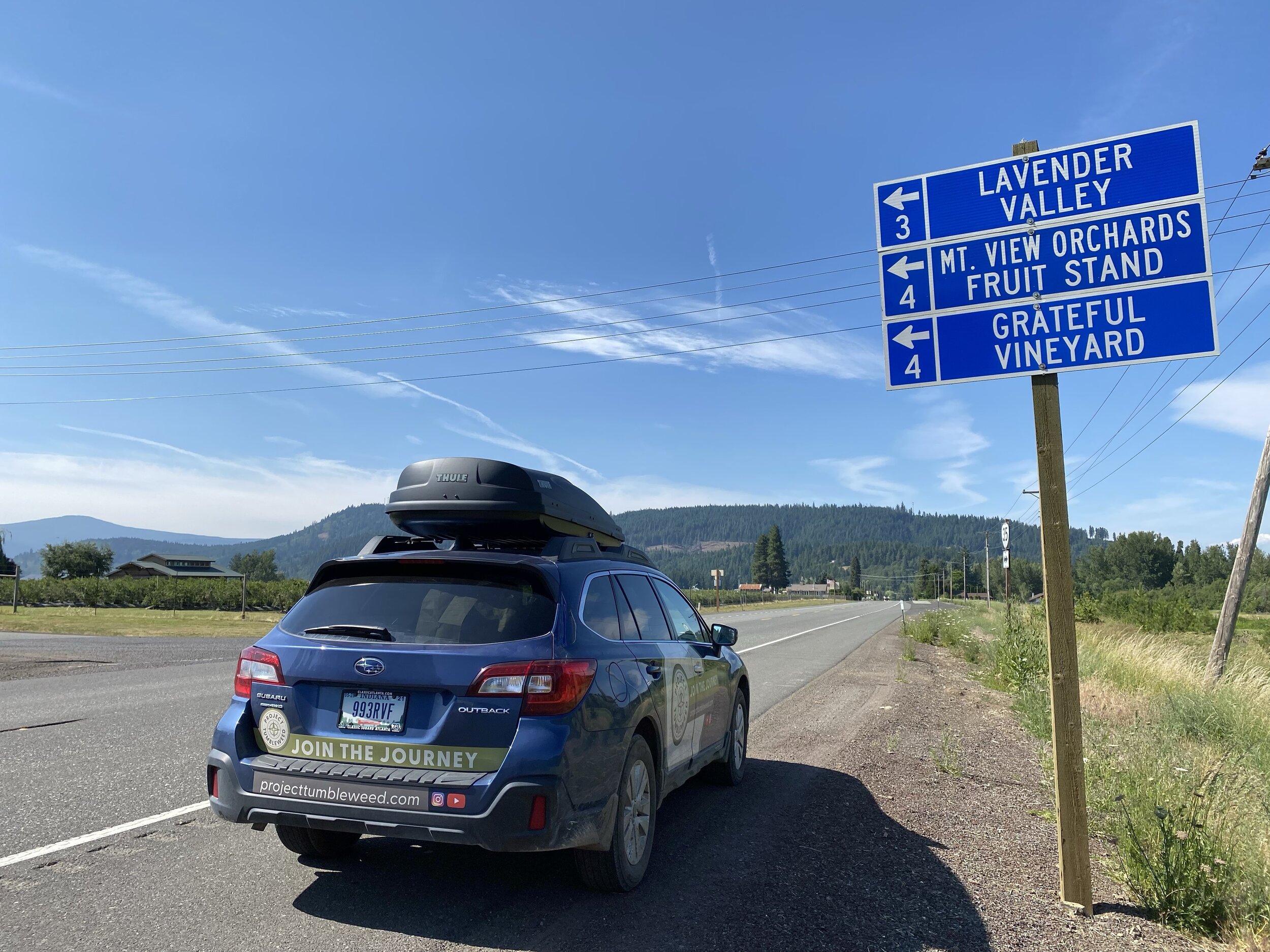
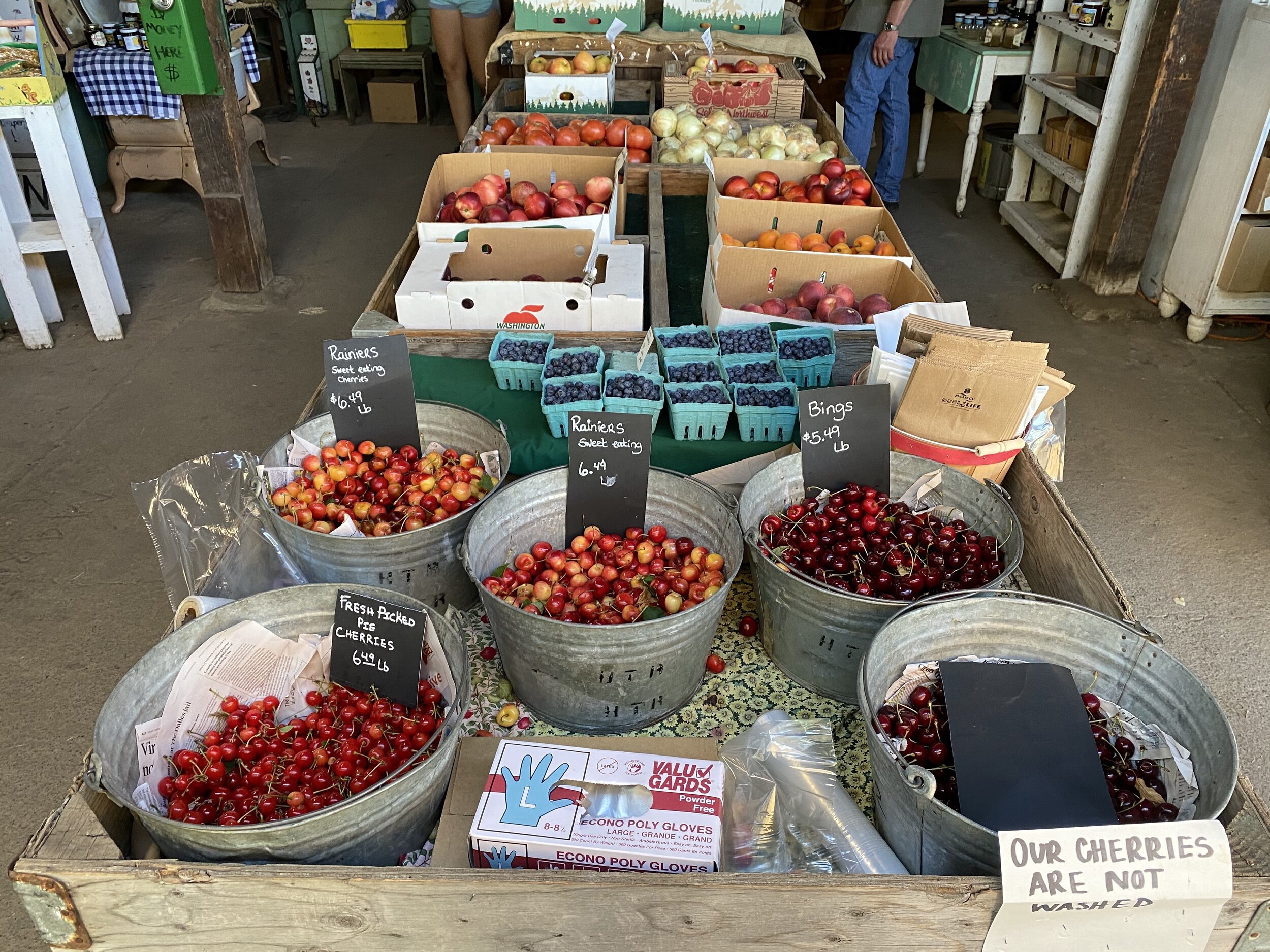
Coming around Mount Hood, I entered the Hood River valley, aka the Fruit Loop, which is home to all kinds of fruit trees and produce farms. The town of Hood River is a foodie’s delight and a popular destination for wind and kite surfers. I grabbed dinner and beers to-go from the Pfriem family brewery.
An Ancient Superhighway
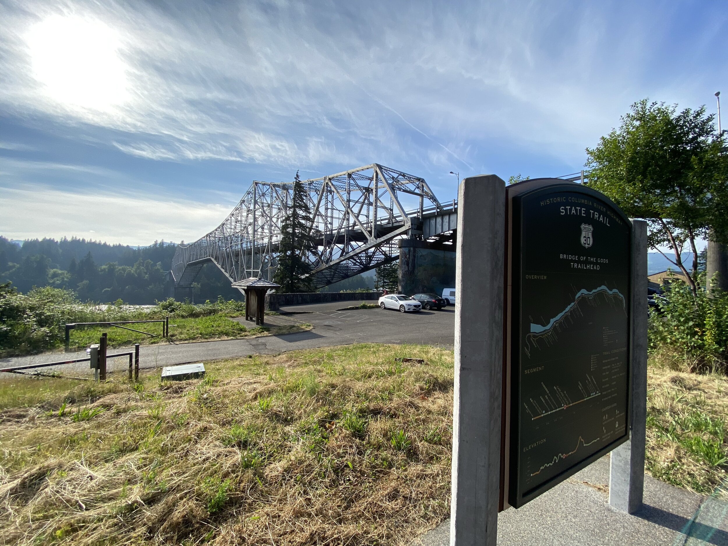
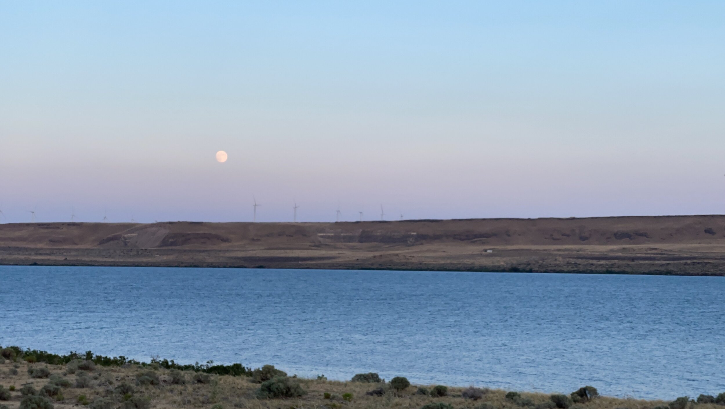
Knowing I was at the transition of the Columbia River gorge where it goes from lush green to high desert brown, I doubled back east to Cascade Locks. Here is the iconic Bridge of the Gods modern structure which is at the point in the river where the indigenous stories recount what happened during the Great Lake Bonneville deluge. You might recall the modern bridge from the Reese Witherspoon movie, Wild.
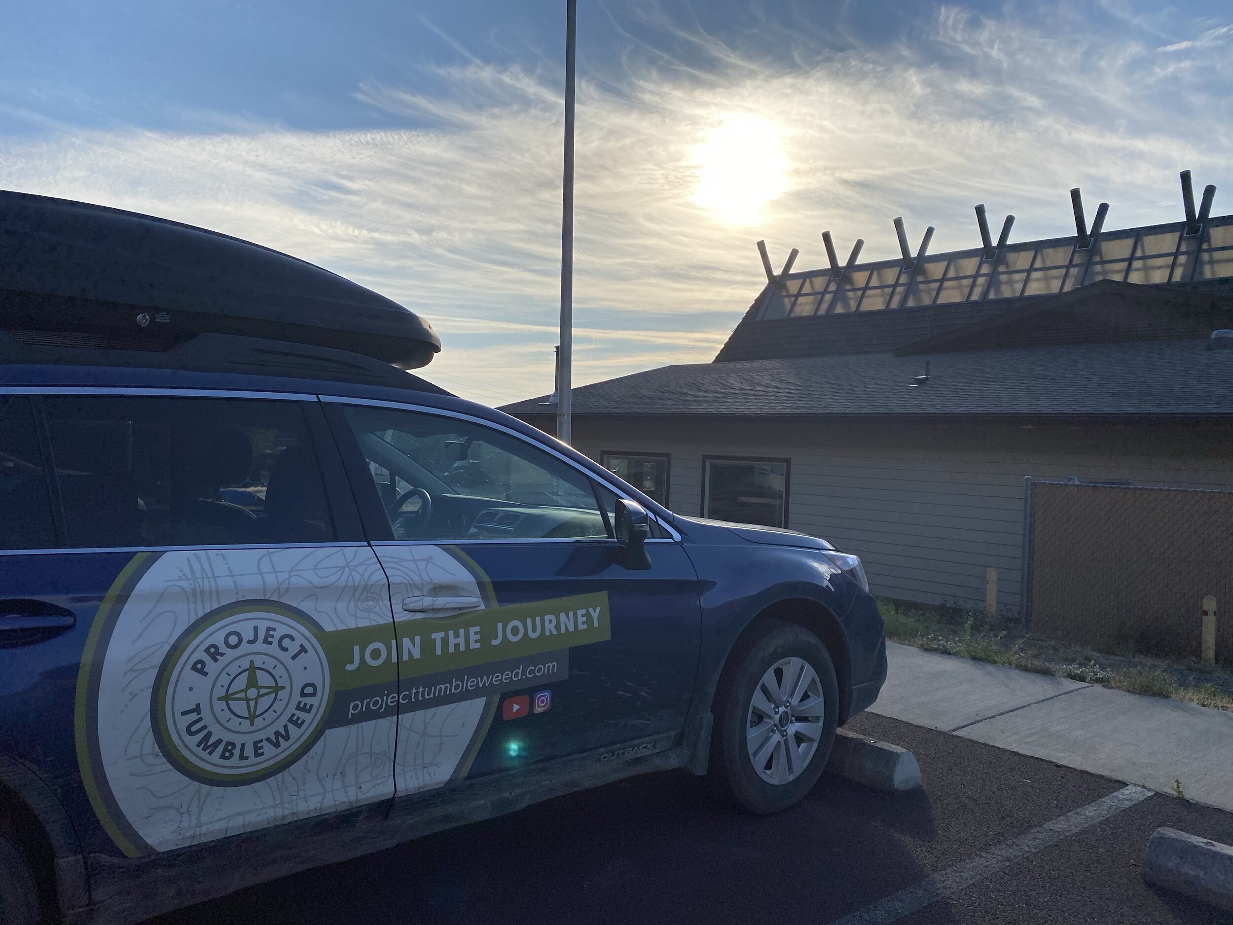
With those images captured, I hit the interstate west navigating the Columbia River gorge with stops in the Celilo Village and the Stonehenge replica in Maryhill. I kept rolling east until I arrived at my reserved parking spot at my brother’s house in Kennewick. Unloading my gear, we cracked some of the beers and then slept under the stars in our backyard tents.
Reconsidering the Narrative
Thinking about my time along the Columbia River, I can’t unsee how this has been a super highway of commerce for thousands of years. The only difference now is the layers of technology that have covered over the indigenous ways of life. Dams, locks, railroads, interstate roads, and farming operations. What price progress?
It is interesting to reconsider how I view these routes heralded in American history books as accomplishments of the men who documented them. However, they did so with the help of the people who were already there. The routes and trails bear the names of the recent arrivals, not those who arrived thousands of year before.
What roads and routes do you live by that have many layers of culture?
